

Description
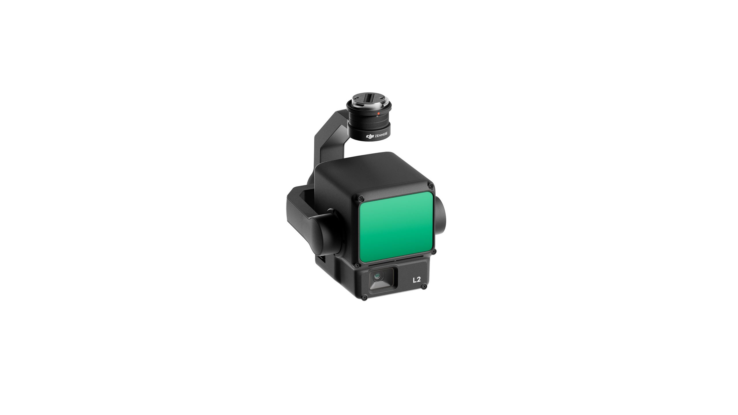
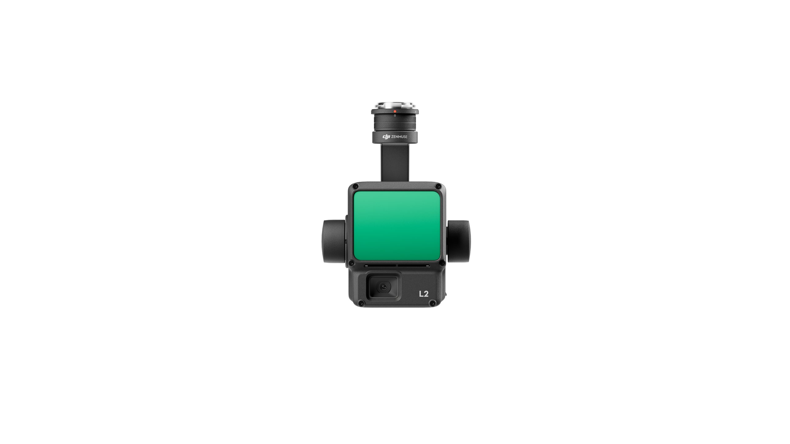
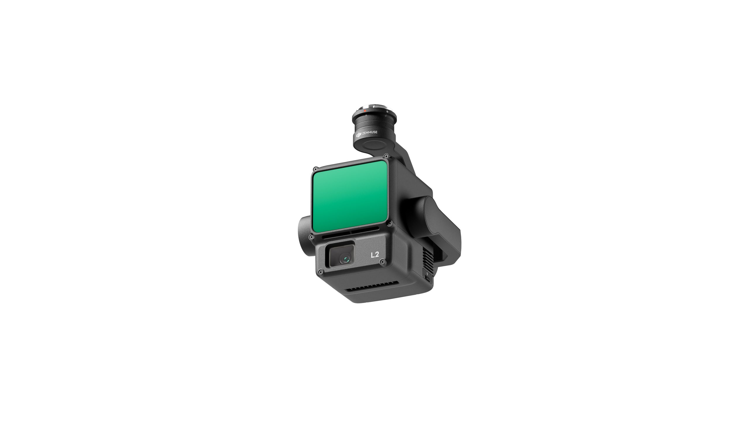
he DJI Zenmuse L2 is a high-precision payload combining frame LiDAR, a high-accuracy IMU, and a 4/3 CMOS RGB mapping camera. It delivers integrated geospatial data acquisition for aerial surveying, mapping, and inspections. The L2 system supports “point cloud live view,” real-time coloring of point clouds, and seamless processing with DJI Terra, enabling fast, accurate 3D data collection.
Reviews
There are no reviews yet.